
blah blah blah
Alpine Cascades
Length: 1.1 miles out-and-backDifficulty (click for info): Beginner
Elevation Gain: 20 feet (+30 feet on return)
Rating (click for info): 7/10
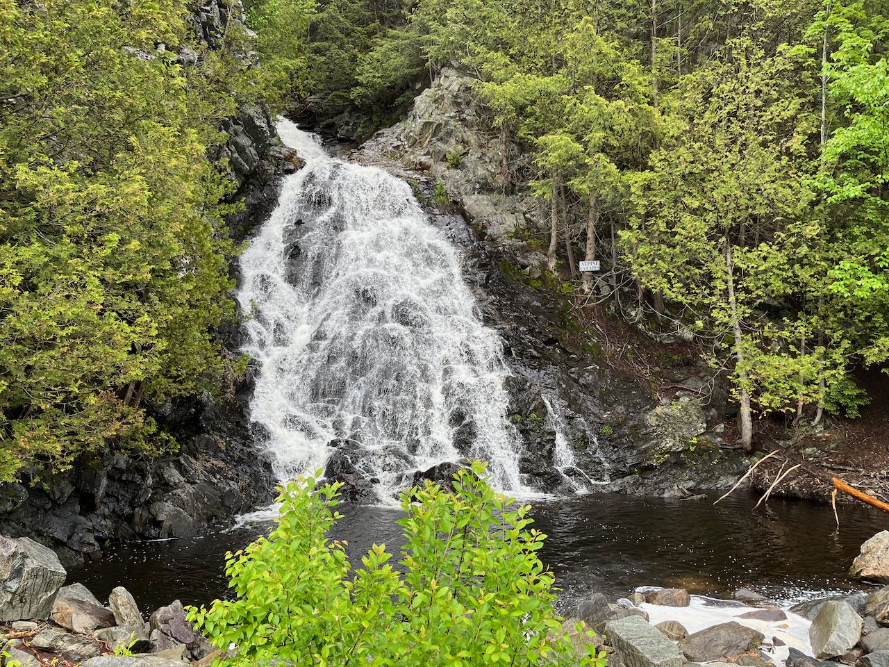
Height: 60'
Source: Cascade Alpine Brook
Driving Directions:
Trailhead is on Shelby Street in Berlin, NH. Travelling north on Rt. 16 from the junction with Rt. 2 in Gorham, after 4.5 miles, bear right onto Unity Street and cross the bridge over the Androscoggin River. After 0.7 miles, turn right at the traffic light onto Mason Street. Drive just 250 feet and take the first right onto Goebel Street. Then, in another 0.2 miles, turn right onto Devens Street. Continue 350 feet to the bottom of the hill and swing left around the corner onto Shelby Street. Drive 0.9 miles to the where the road is gated in front of the treatment plant and park on the right. Click here for a Google map.
About the Hike:
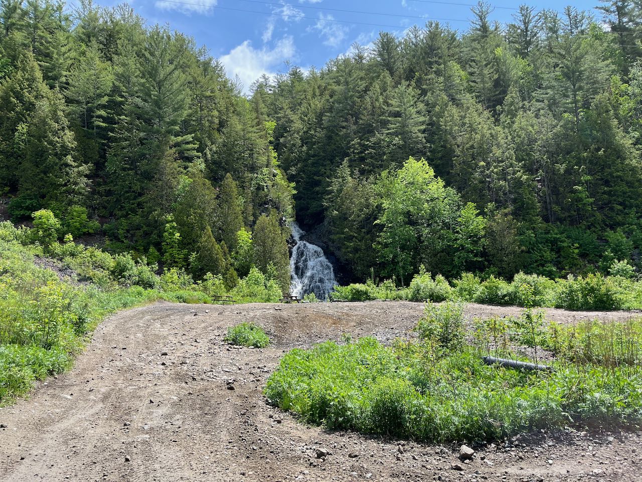
The hardest part about getting to the Alpine Cascades is first learning they exist, and then navigating the back streets of Berlin to find them. This unique waterfall, where an indistinct brook careens down a jagged ledge into a nice pool, is frequently visited by ATV'ers exploring the vast off-road network around Berlin-Gorham. Its surroundings are lacking in terms of scenery, being bounded by artificial rip-rap at the edge of an ATV trail through a wide powerline swath, but the clearing does make for a nicely sun-soaked picnic spot with the lovely waterfall in view, and there are picnic tables available.
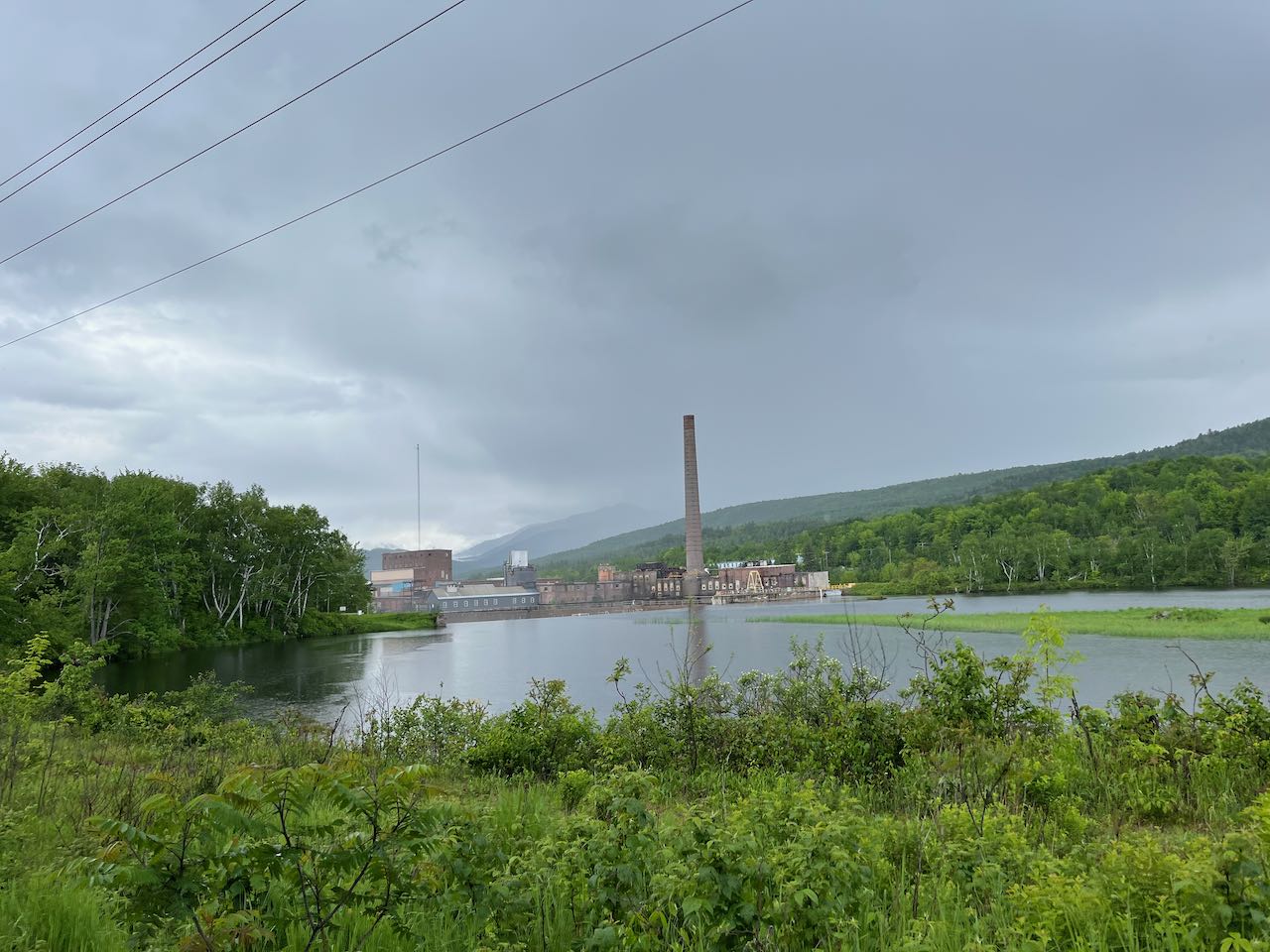
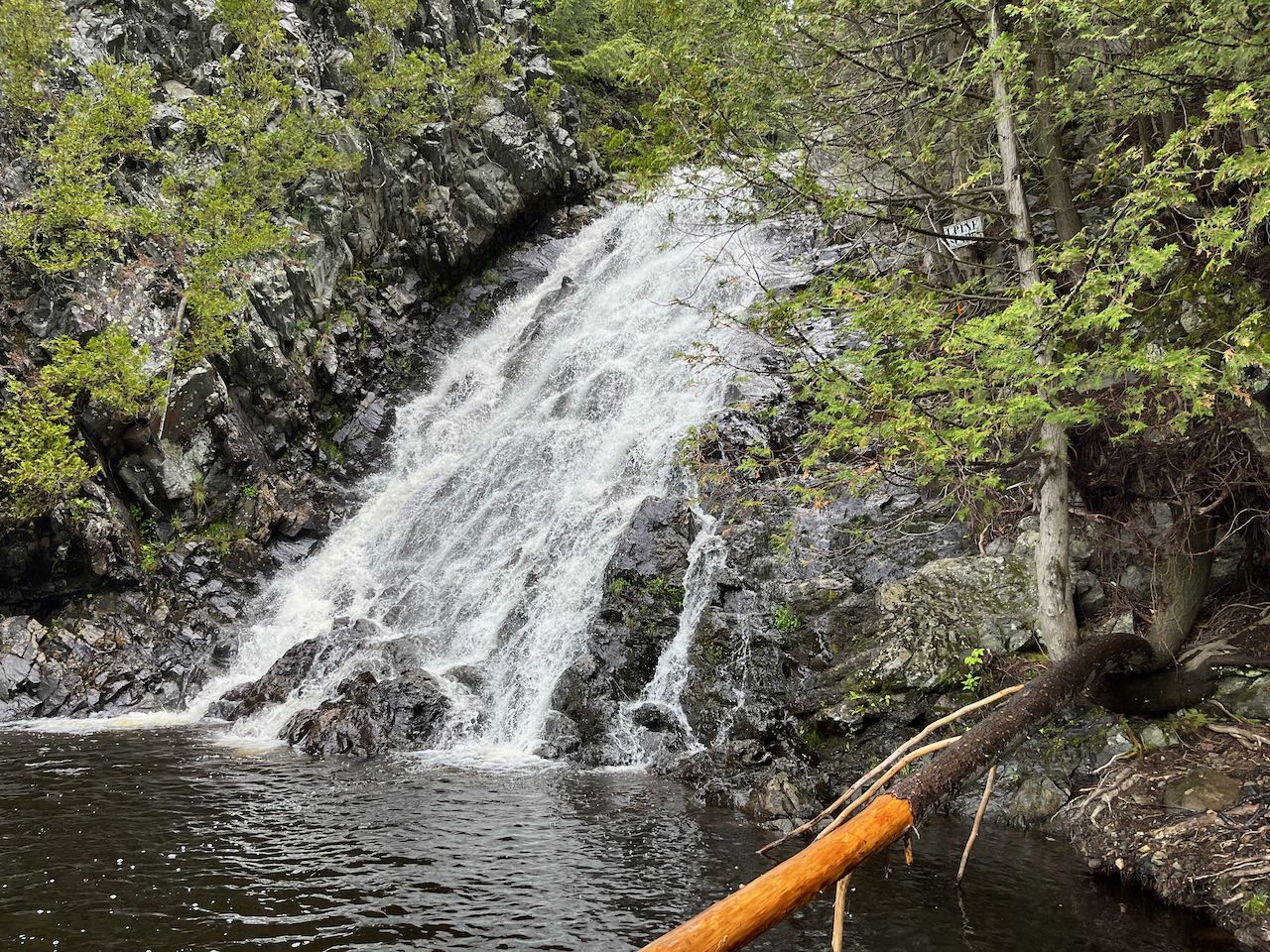
From your parking spot, walk out to the ATV trail which parallels the road on the right side and follow it further past the end of the road. Walk down the level track, which was built from the bed of an old railroad, past the treatment plant and through a blasted ledge. Soon you will come out to an opening along the edge of the Androscoggin River, where the tall smokestack of the White Mountain Paper Company rises over the dam just downstream. Just past the end of the clearing, at 0.4 miles, turn left at a signed junction onto a narrower ATV trail through the woods. Follow this for an additional 0.15 miles out to the powerline clearing, where you will see the falls in view ahead. Get up close to the edge of the brook, where you can walk out on the rocks beside the pool. The brook drains out and disappears into the brush, emptying into the river just below the dam. The main falls are quite impressive to see, as is the fragmented nature of the ledge which forms them. Back up into the ATV trail and move around a bit, and you will be able to see additional height to the falls above the lowest drop.
Printable directions page